


05 – Hautes-Alpes
05 – Hautes-Alpes
The Hautes-Alpes is the most alpine department of the PACA region, dominated by high mountains, glacial valleys and upland plateaus. Its fauna and flora are shaped by altitude, long winters and short growing seasons, supporting cold-adapted species, alpine specialists and some of the region’s most intact natural landscapes.
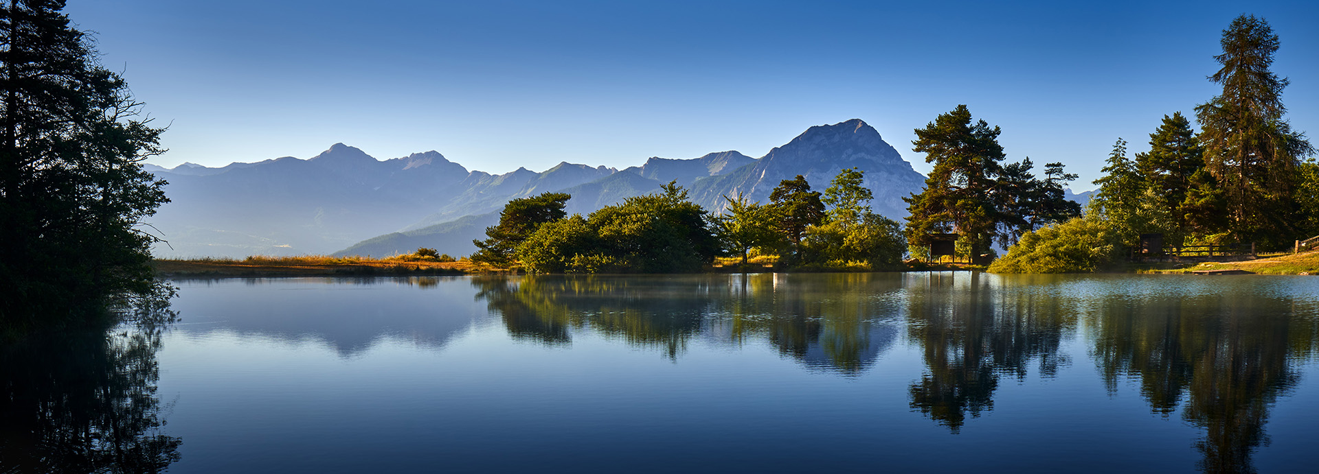
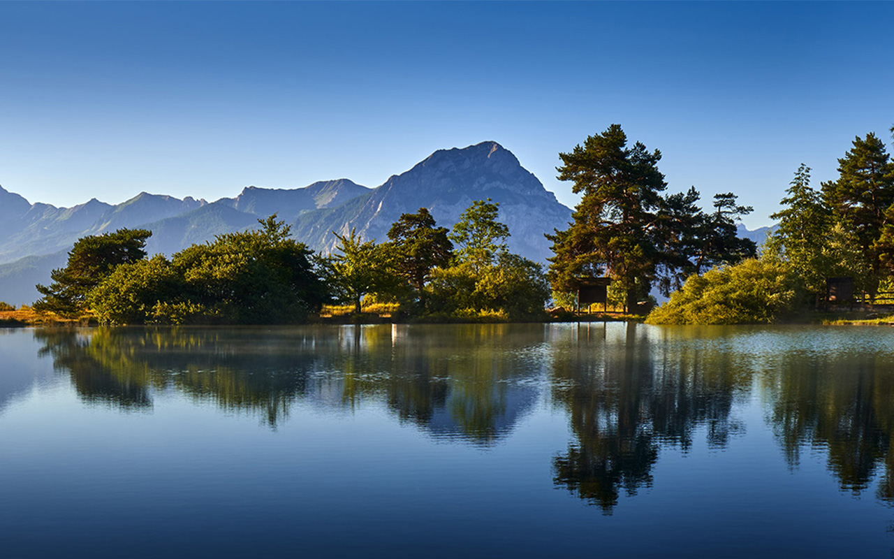
Wild Places
These are listed by order of importance, National, Regional Parks, Reserves and local hotspots that should be of interest to all nature lovers, whether serious listers or casual observers.
Waiting To Be Discovered Are:
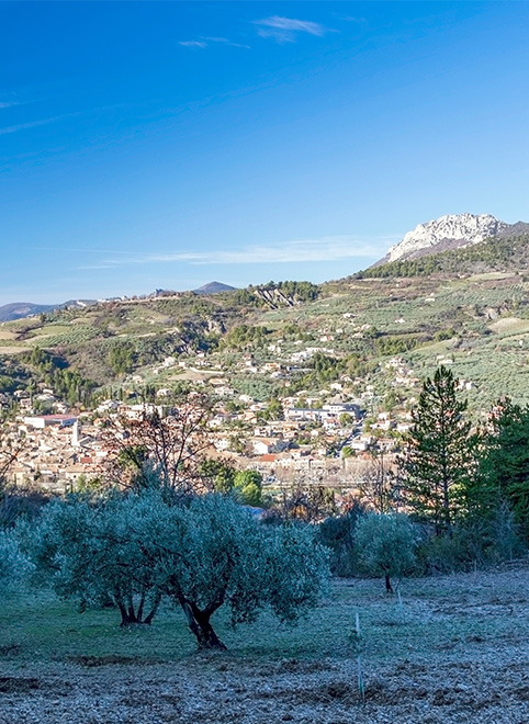
The Baronnies Regional Park
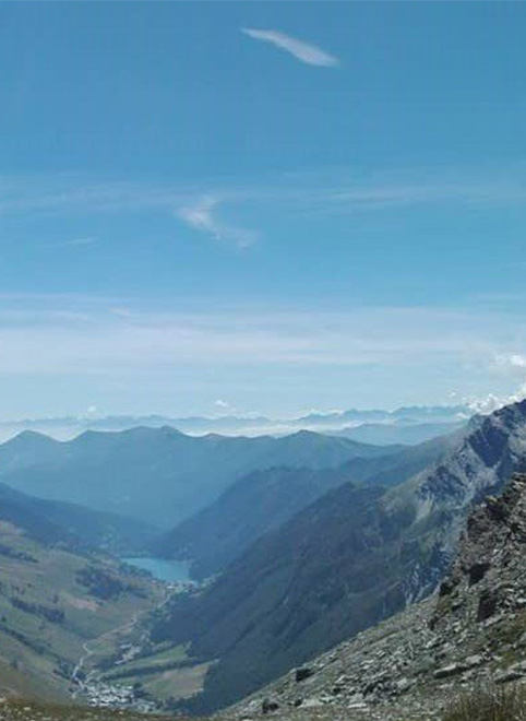

RNN – Ristolas – Mont-Viso
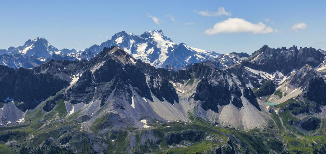
The Ristolas–Mont-Viso National Nature Reserve protects one of the most striking high-mountain landscapes in the southern Alps. Lying at the head of the Guil valley on the Italian border, the reserve is dominated by steep cirques, glacial valleys, scree slopes and alpine meadows beneath the unmistakable pyramid of Mont Viso.
This is a landscape shaped by altitude, ice and time, remote, exposed and largely free from human modification.
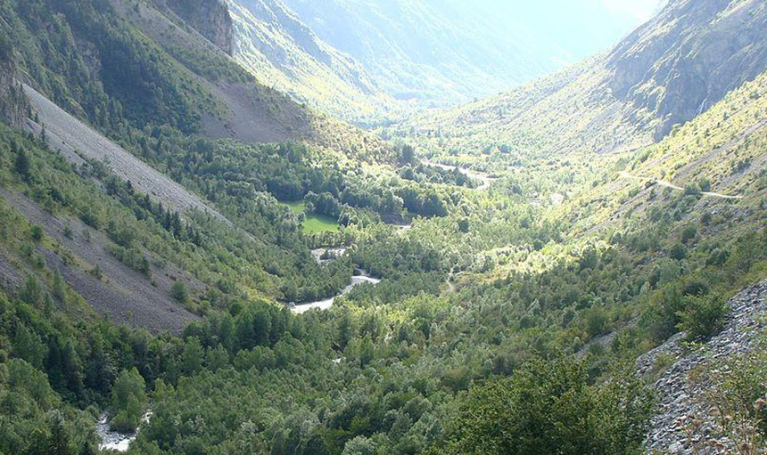
RNN – Séveraisse Valley
The Séveraisse Valley National Nature Reserve protects a dramatic alpine landscape shaped by ice, water and altitude. The valley follows the course of the Séveraisse river from its high mountain sources down through steep-sided gorges, alpine meadows and ancient pastoral routes.
This is a place where raw geology and living systems collide, glaciers feed torrents, scree slopes spill into grasslands and wildlife moves freely between cliffs, forests and high pastures. 44 nesting bird species are just a small portion of what can be discovered here.
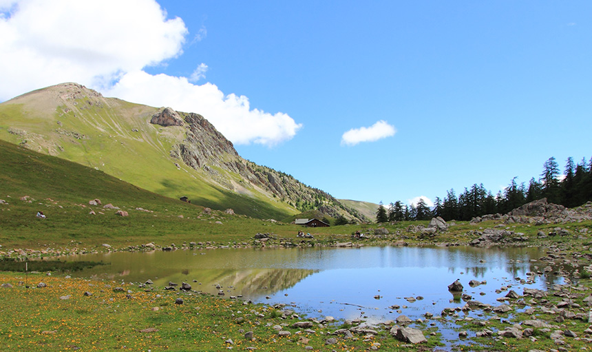
RNR – Partias
Stretching between 1,600 to 2,940 meters above sea level, the regional nature reserve of the Partias covers the montane, subalpine, alpine stages, and reaches the limit of the nival stage. All the natural environments corresponding to this gradient are found on the site: larch forest, mountain meadows, alpine and subalpine heaths and grasslands, mountain bogs (bas-marais), scree slopes, and cliffs. Additionally, the nature reserve is home to two small mountain lakes.
Additional Wildlife Hotspots
These sites fall outside formal protected area boundaries but are widely recognised for their ecological significance.
Field Calendar and Seasonal Dynamics
Spring (March to May) and Autumn (September to October) mark the critical transitions of alpine ecosystems, tracking the arrival of high-altitude alpine breeders and the spectacular visible migration of raptors traversing the high mountain passes. Extensive high-altitude itineraries cutting across the Écrins National Park and the Queyras Regional Natural Park can be plotted via the Chemins des Parcs network and paired with live observation maps on the Biodiv’Écrins repository to layer wildlife data onto physical maps.
Winter (November to February) completely transforms the landscape under heavy snowpack, forcing casual species out of the department and requiring specialised snowshoe tracking within the larch forests and wind-swept ridges for hardy resident alpine specialists.
Summer Forest Access and Fire Risk Regulations (DFCI)
During peak summer drought cycles, the high-altitude alpine zones, larch (Larix decidua) forests and dry valley floors of the Hautes-Alpes are managed under strict prefectural fire prevention protocols. While less affected by the coastal Mistral, this department faces unique threats from high-elevation lightning strikes, high tourist density in narrow valleys and flammable mountain grasslands that ignite rapidly under prolonged solar radiation.
Access regulations are responsive to alpine weather conditions and are issued via prefectural communiqués when thresholds are breached. Standard Risk codes mean normal access to national parks, nature reserves and hiking infrastructure is fully open. Heightened Risk codes permit access but restrict all non-professional clearing, brush-cutting and agricultural harvesting to early morning hours (typically 05:00 to 10:00). Severe Risk Alerts entirely prohibit all access across designated high-risk massifs, banning motorised entry to unpaved tracks and legally closing all hiking paths in affected sectors.
Track current departmental risk announcements and check for emergency boundary decrees nightly via the official Hautes-Alpes Prefecture Portal. Always cross-reference daily fire notices with the core safety regulations of the Écrins National Park, which enforces independent wilderness protection rules regarding domestic animals and overnight bivouacking.
Field Notes & Responsible Practice
Please refer to our code of conduct page for responsible recording and observation.